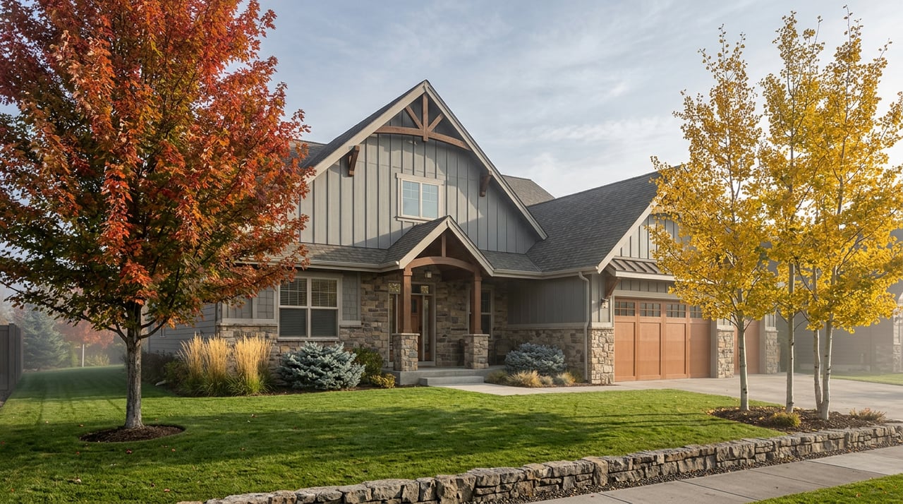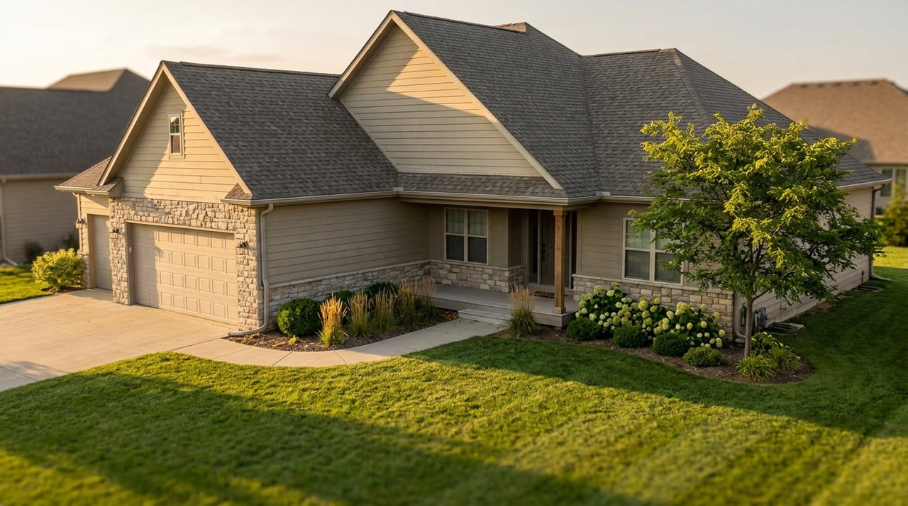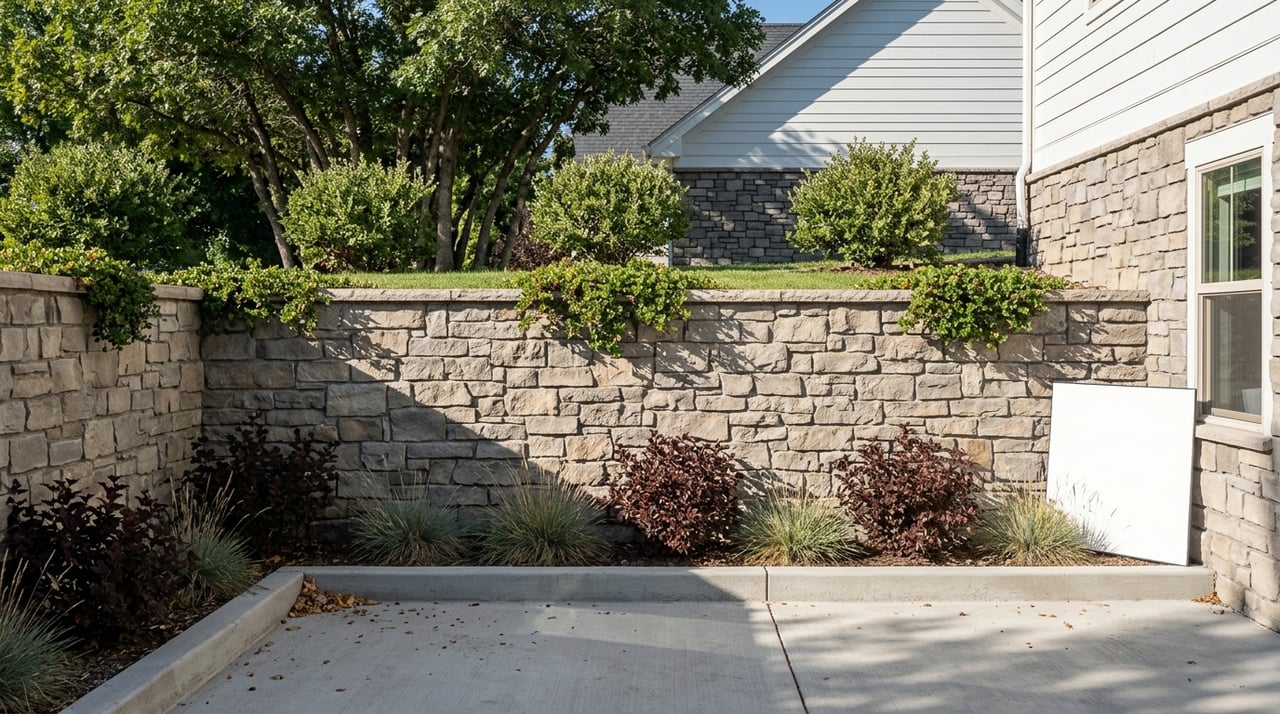
Two homes sit half a mile apart on the same ridge in Draper, both with the same panoramic view of the valley, both built on a slope steep enough to need retaining walls. One listing carries a recorded geologic hazard notice. The other doesn't. A buyer comparing the two might reasonably assume the second lot was checked and cleared. It probably wasn't checked at all.
That gap isn't a red flag on one house and a green light on the other. It's a paperwork artifact, and understanding why it exists matters more in Draper than almost anywhere else on the Wasatch Front, because Draper is one of the few Salt Lake County cities that actually requires this disclosure in the first place.
What The Recorded Notice Actually Certifies
Draper City's geologic hazards ordinance, adopted as Ordinance 935 in June 2010, spells out a specific chain of events. When a parcel falls inside a mapped geologic hazards study area, the city requires a site-specific report from a qualified engineering geologist before it will approve a subdivision or development application. That report gets reviewed by city staff, retained in the Planning Division's project file, and only then does the property owner record a notice that runs with the land. The notice tells future buyers two things: the parcel sits inside a designated study area, and a report exists somewhere in city files that they can go inspect.
That's a meaningful process. It's also a narrower one than most buyers assume. The notice doesn't say the hillside is safe. It says a report was written and filed. Draper's own code is explicit that the study area maps behind this whole system are, in the ordinance's language, "necessarily generalized," and that hazards can exist on parcels the map never flagged at all.
The Ordinance Has A Start Date
Here's the detail that changes how you should read a Draper hillside listing: this entire system started in 2010. Any lot platted, subdivided, or built before that date never went through this process, regardless of what's underneath it. A 1990s custom home on the east bench or an original-phase South Mountain lot from the early 2000s simply predates the rule. There was no geologic hazards study area map to trigger a report, no report to file, and no notice to record, because the legal mechanism didn't exist yet.
That means the absence of a notice on an older resale tells you almost nothing about the ground beneath the house. It tells you the home was platted before a specific ordinance took effect. Newer construction in phases of SunCrest, Corner Canyon, or the foothill lots that have gone through development review since 2010 are the properties most likely to actually carry this paperwork, simply because they're the ones that had to ask permission to build in the first place.
Why Draper Wrote This Rule On This Particular Hillside
Draper didn't adopt a geologic hazards ordinance as a generic precaution. Traverse Ridge, where SunCrest sits at roughly 6,500 feet, has a documented slope history that predates any of the current subdivisions. Geological case studies of the Wasatch Front identify the Little Valley Landslide and a separate multi-failure slide complex on the ridge, along with the Steep Mountain fault, a normal fault whose movement created the topographic break that much of the hillside development sits above. Retaining walls in some of these areas were built directly along that fault line, supporting housing on the uphill side.
The city's terrain has also produced a real event within living memory. A wildfire burned roughly 808 acres of the Corner Canyon hillside in 2008, and the following June, intense rainfall on the burned slopes triggered flooding, mudslides, and debris flows downstream. That sequence, fire followed by storm followed by debris flow, is exactly the kind of hazard the ordinance's debris flow and slope stability provisions were written to anticipate.
Very few Utah cities bother with this level of regulation. State hazard mitigation officials list only a handful of municipalities with adopted geologic hazard ordinances, and Draper, along with Cottonwood Heights, Holladay, Salt Lake City, and Sandy, is one of them. Most Utah cities have no municipal requirement at all, which makes Draper's system more protective than the norm, even with its gaps.
Three Ways A Current Listing Can Have No Notice At All
A missing notice on a Draper hillside listing can mean any of the following, and they are not equivalent:
- The parcel predates the ordinance. No development application was ever filed after June 2010, so no report was ever required.
- The home was remodeled without expanding its footprint. Under the framework Draper's ordinance is built on, remodeling an existing structure without expanding the footprint, foundation, or changing its use generally does not trigger a new geologic hazards review, even if the remodel is extensive.
- The parcel simply wasn't shown on the study area map. The city's code acknowledges its own maps may not capture every hazard, and a site can carry real geologic conditions that were never flagged because they fell outside the mapped boundary at the time it was drawn.
None of these three scenarios means the land is stable. They mean the paperwork trail never started.
What The State Disclosure Form Covers, And What It Doesn't
Utah's standard Seller's Property Condition Disclosure, the form every seller statewide completes as part of the Real Estate Purchase Contract, does include a line for geologic conditions. But it operates on a different standard than the city notice.
| Utah REPC Seller Disclosure | Draper City Geologic Hazard Notice | |
|---|---|---|
| Who provides it | Every seller, statewide, regardless of location or terrain | Only parcels where a hazard report was triggered during subdivision or development approval |
| What it's based on | The current seller's own knowledge and memory | A site-specific report prepared, reviewed, and accepted by qualified professionals |
| Legal standard | Caveat emptor: the seller discloses what they know, the buyer bears the burden of finding what they don't | Recorded against the property, independent of whether the current owner remembers or understands it |
| What it confirms about safety | Nothing verified independently | Confirms a hazard was formally evaluated at some point, not that none exists |
Utah's own geological survey states the gap plainly: state law does not require real estate agents to verify or disclose geologic hazards, and losses from these hazards are typically excluded from standard homeowner's insurance policies. The city notice, where it exists, is one of the only independently verified layers in the entire transaction.
What To Ask For Before You Remove Contingencies
If you're writing an offer on a hillside address in Draper, in SunCrest, Corner Canyon, South Mountain, Hidden Valley, Steeplechase, or one of the other foothill and ridge-top neighborhoods, a few concrete requests are worth making before your due-diligence deadline expires.
- Ask the title company for a copy of any recorded geologic hazards notice tied to the parcel, not just what's summarized in the MLS disclosure packet.
- Contact Draper City's Planning Division directly and ask whether a geologic hazards report is on file for the address, even if no notice was recorded. The report is a public record once accepted by the city.
- If the property sits behind or above a retaining wall over four feet tall, ask who engineered it and whether it was permitted, since walls of that height require city-reviewed engineering.
- If there's an HOA, ask whether it holds geotechnical records from when the community was originally developed.
- If the home predates 2010 or has been remodeled without a footprint change, consider ordering your own site-specific evaluation rather than assuming the absence of paperwork means the absence of risk.
Draper's price spread reflects exactly why this matters. In the first quarter of 2026, closed sales in Draper's Salt Lake County portion ranged from roughly $311,000 in the flatter central part of the city to $3.6 million at the high end, with the median landing near $900,000. That spread isn't random. It tracks elevation and terrain almost as closely as it tracks square footage, and the same geography that produces the view premium in SunCrest and Hidden Valley is the geography this ordinance was written for.
A Few Direct Questions
Does a missing notice mean the home is definitely safe? No. It most often means the parcel predates the 2010 ordinance or the remodel never expanded the footprint. Neither fact tells you anything about the slope itself.
Will my homeowners insurance cover landslide or debris flow damage? Typically not. Standard policies generally exclude geologic hazard losses, which is part of why an independent evaluation carries real weight before you close, not just at claim time.
Who pays for a geotechnical report if I want one on a resale? On new development, the applicant covers the cost of city review. On a resale, ordering your own site-specific evaluation is a buyer expense, but it's a negotiable request during your due-diligence period, and worth raising early rather than after you've waived contingencies.
If you're comparing hillside listings in Draper and want help pulling the actual planning file on a specific address before you write an offer, or if you're selling a hillside home and want a clear, current read on where your comps sit this quarter, reach out to Utah Homes by Steve. We'll walk the paperwork with you before you're under contract, not after.